1901811 1902051 1902197 3901206 5902363 5902436 5902437 5902466 5902480 5902486 5902499 5904260 5904337 5904345 5904359 5904371 5904441 5904523 5904613 5904643 5904704 5904790 5904792 5904816 5904863 5904899 5904914 5904997 5905041 5905042 5905108 5905166 5905173 5905211 5905212 5905298 5905373 5905377 5905404 5905422 5905423 5905443 5905447 5905465 5905471 5905479 5905480 5905648 5905667 5905715 5905716 5905728 5905877 5905881 5905968 5905969 5905975 5906013 5906073 5906116 5906135 5906150 5906171 5906221 5906256 5906263 5906269 5906272 5906349 5906614 5906615 5906616 5906617 5906618 5906619 6902701 6902907 7900390 7900616

Argo profiles in the Australian region

Temperature and salinity down to 2000m

[PREV] [NEXT] [DATE INDEX] [What's shown]
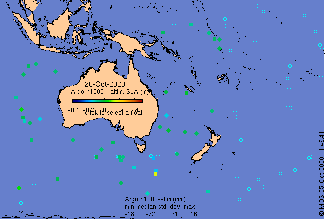
Click on the map below or choose a [WMO number] to see the temperature and salinity data from the selected float compared with satellite-adjusted climatology.

Depending on your settings, your browser may or may not open these links in a separate window.
If nothing seems to open, try right-click/open-in-new-window