1901736 1902050 1902266 2901347 2902221 2902777 2902781 2902787 2902796 2902804 2902806 2902807 2902809 2902819 3901160 4902906 5902335 5902343 5902367 5902368 5902397 5902400 5902426 5902429 5902435 5902454 5902458 5902469 5902484 5904109 5904339 5904391 5904607 5904623 5904628 5904641 5904778 5904793 5904810 5904902 5904903 5905000 5905103 5905169 5905178 5905183 5905187 5905262 5905295 5905304 5905386 5905390 5905393 5905401 5905402 5905407 5905418 5905426 5905479 5905644 5905646 5905677 5905703 5905710 5905714 5905970 5906061 5906064 5906115 5906139 5906174 5906176 5906221 5906264 5906274 5906313 5906319 5906407 5906639 5906642 6902909 6902985 6903768 6903771 7900648

Argo profiles in the Australian region

Temperature and salinity down to 2000m

[PREV] [NEXT] [DATE INDEX] [What's shown]
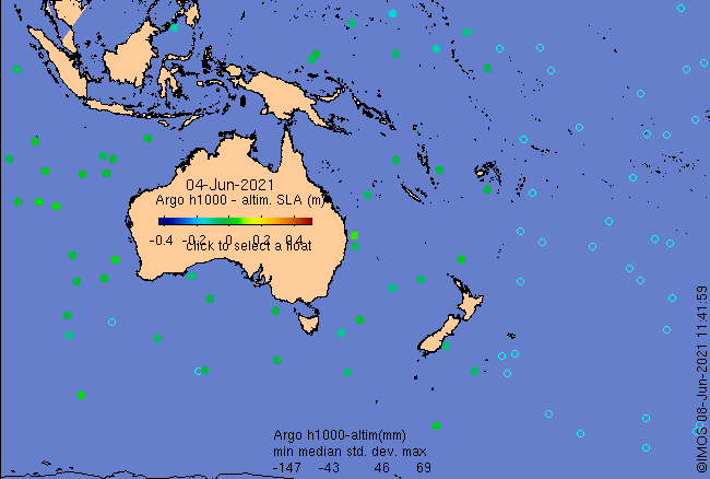
Click on the map below or choose a [WMO number] to see the temperature and salinity data from the selected float compared with satellite-adjusted climatology.

Depending on your settings, your browser may or may not open these links in a separate window.
If nothing seems to open, try right-click/open-in-new-window