1901810 1901831 1901862 1902045 1902052 2902224 2902228 2902774 2902778 2902793 2902795 3901471 4902907 4903000 5902365 5902369 5902378 5902387 5902414 5902415 5902422 5902424 5902425 5902430 5902431 5902432 5902459 5902470 5902472 5902485 5902495 5902496 5902497 5904291 5904356 5904357 5904358 5904362 5904372 5904376 5904549 5904615 5904637 5904643 5904654 5904699 5904792 5904805 5904817 5904890 5904927 5905001 5905064 5905115 5905168 5905315 5905316 5905348 5905403 5905405 5905422 5905440 5905447 5905464 5905469 5905470 5905648 5905669 5905670 5905690 5905704 5905716 5905717 5905763 5905772 5905780 5905877 5905969 5905971 5906013 5906143 5906180 5906209 5906235 5906238 5906256 5906263 5906269 5906272 5906311 5906617 5906640 6902938 6903789 7900111 7900612 7900798 7900799

Argo profiles in the Australian region

Temperature and salinity down to 2000m

[PREV] [NEXT] [DATE INDEX] [What's shown]
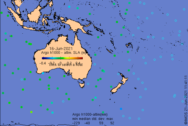
Click on the map below or choose a [WMO number] to see the temperature and salinity data from the selected float compared with satellite-adjusted climatology.

Depending on your settings, your browser may or may not open these links in a separate window.
If nothing seems to open, try right-click/open-in-new-window