1901835 1901838 1902045 1902051 2902804 2902806 2902807 2902809 2902819 2902854 3901206 3901222 4903389 5902362 5902374 5902393 5902396 5902449 5902451 5902455 5902466 5902474 5902481 5904058 5904345 5904398 5904446 5904545 5904623 5904628 5904631 5904641 5904712 5904727 5904729 5904787 5904810 5904928 5904945 5905001 5905004 5905012 5905027 5905040 5905171 5905189 5905193 5905240 5905249 5905262 5905296 5905303 5905387 5905402 5905407 5905432 5905439 5905458 5905475 5905477 5905485 5905495 5905644 5905645 5905646 5905673 5905704 5905715 5905764 5905839 5905970 5905971 5906061 5906143 5906150 5906303 5906347 5906409 5906411 5906425 5906474 5906615 5906622 5906623 5906639 5906643 5906644 5906645 5906658 5906703 5906714 5906727 5906728 5906754 6902760 6902927 6903025 6903215 7900796 7900896 7900905 7900922

Argo profiles in the Australian region

Temperature and salinity down to 2000m

[PREV] [NEXT] [DATE INDEX] [What's shown]
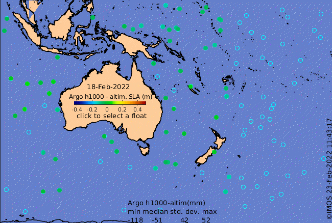
Click on the map below or choose a [WMO number] to see the temperature and salinity data from the selected float compared with satellite-adjusted climatology.

Depending on your settings, your browser may or may not open these links in a separate window.
If nothing seems to open, try right-click/open-in-new-window