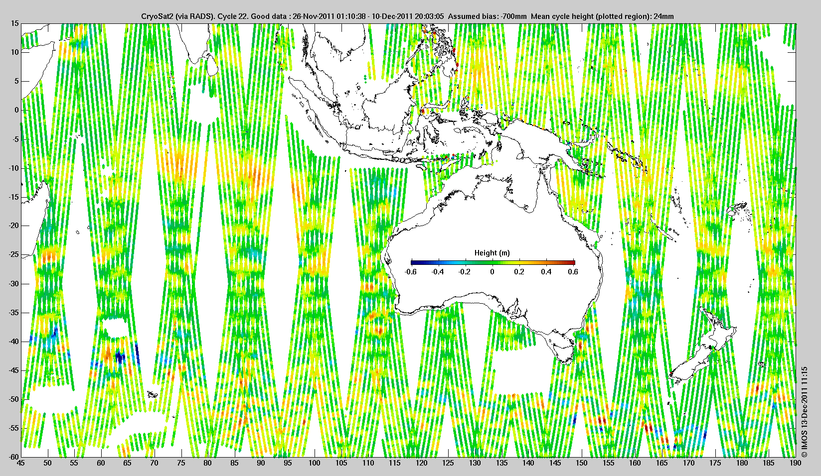
The first two weeks' ESA CryoSat data released by the NOAA Laboratory for Satellite Altimetry, for the Australasian region. The data shown were obtained via Radar Altimeter Database System (RADS). Gaps like the rectangle south-west of Tasmania occur where the altimeter operates in SAR or SARIN mode.

© 2011 IMOS
Use of this web site and information available from it is subject to our
[Conditions of use]
