1901813 1901862 1902050 1902266 2902183 2902224 2902228 2902774 2903359 3901206 4902907 4903000 5902362 5902374 5902391 5902449 5902450 5902470 5902472 5902485 5902487 5902495 5902496 5902497 5903823 5904048 5904116 5904119 5904242 5904291 5904337 5904359 5904403 5904427 5904441 5904549 5904560 5904609 5904615 5904637 5904654 5904699 5904805 5904811 5904817 5904898 5904915 5905044 5905115 5905172 5905182 5905203 5905237 5905246 5905251 5905263 5905315 5905316 5905348 5905405 5905412 5905440 5905464 5905469 5905470 5905644 5905645 5905662 5905670 5905703 5905714 5905763 5906014 5906115 5906139 5906149 5906180 5906223 5906256 5906263 5906269 5906272 5906280 5906614 5906615 5906616 5906618 6902938 7900794 7900900

Argo profiles in the Australian region

Temperature and salinity down to 2000m

[PREV] [NEXT] [DATE INDEX] [What's shown]
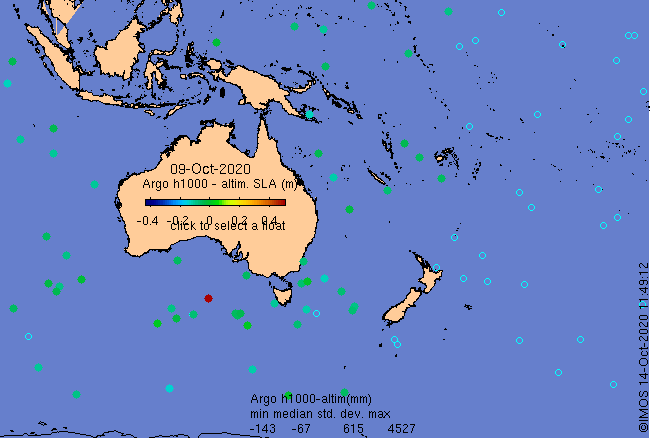
Click on the map below or choose a [WMO number] to see the temperature and salinity data from the selected float compared with satellite-adjusted climatology.

Depending on your settings, your browser may or may not open these links in a separate window.
If nothing seems to open, try right-click/open-in-new-window