2902250 2902813 2902815 3901186 3901914 3901916 4903178 4903189 4903289 5902344 5902347 5902348 5902352 5902394 5902413 5902416 5902427 5902433 5902434 5902473 5902476 5902477 5902507 5904284 5904295 5904352 5904374 5904543 5904612 5904635 5904808 5904826 5904828 5904888 5904902 5904920 5905000 5905050 5905129 5905169 5905175 5905191 5905214 5905239 5905248 5905266 5905285 5905339 5905373 5905398 5905406 5905415 5905431 5905450 5905455 5905456 5905647 5905666 5905688 5905709 5905759 5905975 5906078 5906085 5906086 5906093 5906098 5906099 5906119 5906120 5906137 5906141 5906146 5906167 5906168 5906209 5906255 5906257 5906258 5906265 5906287 5906307 5906423 5906429 5906430 5906623 5906624 5906660 5906666 5906673 5906696 5906705 5906706 5906707 5906737 5906743 5906751 6902861 7900631 7900922 7900923

Argo profiles in the Australian region

Temperature and salinity down to 2000m

[PREV] [NEXT] [DATE INDEX] [What's shown]
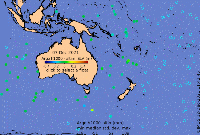
Click on the map below or choose a [WMO number] to see the temperature and salinity data from the selected float compared with satellite-adjusted climatology.

Depending on your settings, your browser may or may not open these links in a separate window.
If nothing seems to open, try right-click/open-in-new-window