1901800 1901809 1901812 1902264 1902265 2901862 2902222 2902223 2902288 2902813 2902815 3901539 3901877 4902300 4903298 4903395 5902349 5902367 5902393 5902399 5902401 5902428 5902435 5902475 5902498 5902500 5902501 5902505 5902507 5902520 5904279 5904569 5904612 5904616 5904635 5904697 5904740 5904804 5904828 5904927 5904947 5905029 5905040 5905129 5905164 5905168 5905180 5905193 5905196 5905238 5905239 5905242 5905248 5905333 5905391 5905392 5905445 5905449 5905450 5905451 5905453 5905499 5905501 5905647 5905666 5905765 5905772 5905970 5906092 5906102 5906105 5906111 5906113 5906115 5906140 5906142 5906147 5906170 5906175 5906255 5906257 5906258 5906262 5906265 5906286 5906344 5906350 5906626 5906635 5906659 5906701 5906726 6902759 6902857 6902920 6902939 6902941 6902988 7900583 7900612 7900677 7900908

Argo profiles in the Australian region

Temperature and salinity down to 2000m

[PREV] [NEXT] [DATE INDEX] [What's shown]
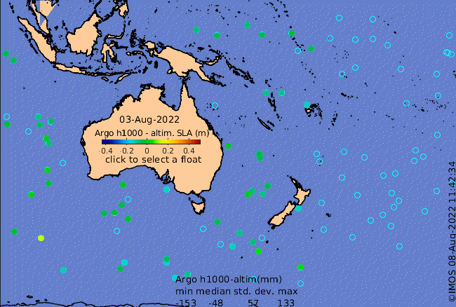
Click on the map below or choose a [WMO number] to see the temperature and salinity data from the selected float compared with satellite-adjusted climatology.

Depending on your settings, your browser may or may not open these links in a separate window.
If nothing seems to open, try right-click/open-in-new-window