1901810 1901835 1902028 1902050 1902199 1902265 2902774 2902778 2902800 3902210 3902362 4903626 5902433 5902437 5902474 5902500 5904610 5904640 5904649 5904651 5904813 5905170 5905172 5905208 5905212 5905237 5905319 5905333 5905437 5905444 5905448 5905472 5905498 5905531 5905532 5905542 5905647 5905666 5905668 5905713 5905769 5905770 5905875 5906037 5906106 5906114 5906142 5906165 5906191 5906201 5906207 5906235 5906255 5906285 5906318 5906346 5906415 5906462 5906463 5906467 5906475 5906550 5906636 5906649 5906661 5906675 5906700 5906714 5906748 5906791 5906793 5906795 5906906 5906916 6903024 7900514 7900628 7900629 7900795

Argo profiles in the Australian region

Temperature and salinity down to 2000m

[PREV] [NEXT] [DATE INDEX] [What's shown]
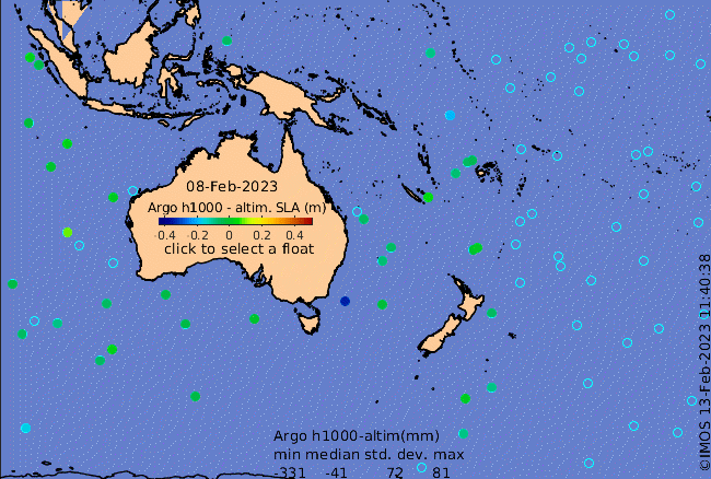
Click on the map below or choose a [WMO number] to see the temperature and salinity data from the selected float compared with satellite-adjusted climatology.

Depending on your settings, your browser may or may not open these links in a separate window.
If nothing seems to open, try right-click/open-in-new-window