1902028 2902222 2902288 2902813 2902815 3901538 3901539 3902362 3902370 4902300 4903298 4903626 5902437 5902449 5902450 5902452 5902487 5902498 5902507 5904612 5904616 5904635 5904697 5904740 5904826 5904828 5904947 5905116 5905173 5905180 5905196 5905213 5905236 5905239 5905242 5905248 5905353 5905392 5905414 5905445 5905449 5905450 5905451 5905453 5905499 5905501 5905535 5905645 5905658 5905682 5905703 5905704 5905714 5906002 5906092 5906106 5906114 5906170 5906175 5906207 5906238 5906257 5906265 5906286 5906304 5906344 5906350 5906413 5906415 5906423 5906424 5906444 5906462 5906463 5906467 5906475 5906550 5906579 5906635 5906659 5906729 5906765 5906768 5906769 5906778 5906817 5906821 5906827 5906892 5906910 5906915 6903229 6903813 6903829 7900512 7900513 7900614 7900796 7900895 7900908 7900914

Argo profiles in the Australian region

Temperature and salinity down to 2000m

[PREV] [NEXT] [DATE INDEX] [What's shown]
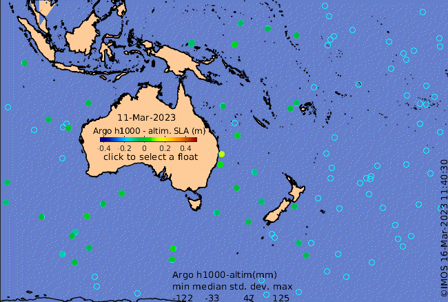
Click on the map below or choose a [WMO number] to see the temperature and salinity data from the selected float compared with satellite-adjusted climatology.

Depending on your settings, your browser may or may not open these links in a separate window.
If nothing seems to open, try right-click/open-in-new-window