1901809 1901832 1901838 1902223 1902224 2902799 2902813 2902815 3901883 3902364 4903389 5902367 5902429 5902430 5902449 5902470 5902481 5902486 5902495 5902497 5902499 5904628 5904632 5904712 5904727 5904810 5904812 5904861 5904945 5905040 5905097 5905168 5905184 5905193 5905238 5905240 5905244 5905262 5905296 5905303 5905401 5905402 5905403 5905407 5905432 5905433 5905439 5905447 5905456 5905458 5905477 5905485 5905495 5905503 5905509 5905513 5905646 5905651 5905653 5905673 5905683 5905684 5905685 5905707 5905719 5905720 5905723 5905725 5906059 5906151 5906221 5906272 5906277 5906310 5906347 5906473 5906567 5906627 5906630 5906643 5906644 5906645 5906697 5906698 5906736 5906737 5906745 5906777 5906823 5906913 6902920 6902939 6902941 6902989 6903215 6903813 7900613 7900803 7900836 7900896

Argo profiles in the Australian region

Temperature and salinity down to 2000m

[PREV] [NEXT] [DATE INDEX] [What's shown]
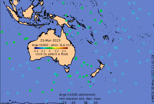
Click on the map below or choose a [WMO number] to see the temperature and salinity data from the selected float compared with satellite-adjusted climatology.

Depending on your settings, your browser may or may not open these links in a separate window.
If nothing seems to open, try right-click/open-in-new-window