1901813 1902027 1902048 1902055 1902260 1902261 1902442 2902222 2902808 2902894 3901960 3902255 3902256 3902362 3902370 4902300 4903630 5902483 5902488 5902490 5902507 5904622 5904633 5904635 5904642 5904650 5904789 5904793 5904947 5905163 5905196 5905213 5905237 5905265 5905391 5905406 5905415 5905425 5905450 5905451 5905453 5905489 5905497 5905501 5905517 5905527 5905560 5905665 5905690 5905716 5905718 5905772 5906092 5906102 5906108 5906118 5906151 5906170 5906207 5906257 5906259 5906269 5906273 5906304 5906344 5906406 5906426 5906463 5906467 5906550 5906624 5906630 5906641 5906660 5906702 5906703 5906714 5906728 5906793 5906817 5906821 5906827 5906841 5906845 5906932 6902891 6902938 6904234 7900515 7900629 7900933 7900945 7901097

Argo profiles in the Australian region

Temperature and salinity down to 2000m

[PREV] [NEXT] [DATE INDEX] [What's shown]
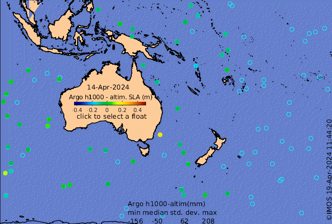
Click on the map below or choose a [WMO number] to see the temperature and salinity data from the selected float compared with satellite-adjusted climatology.

Depending on your settings, your browser may or may not open these links in a separate window.
If nothing seems to open, try right-click/open-in-new-window