1901809 2902115 2902170 2902243 2902250 2902788 2902789 2902794 4903178 4903289 5901273 5902347 5902351 5902364 5902373 5902390 5902391 5902392 5902397 5902414 5902415 5902424 5902429 5902455 5902474 5902490 5902507 5903581 5903825 5903826 5903978 5904199 5904258 5904284 5904295 5904351 5904352 5904370 5904435 5904507 5904513 5904522 5904525 5904535 5904553 5904610 5904649 5904718 5904736 5904809 5904813 5904846 5904898 5904899 5904914 5905019 5905044 5905049 5905170 5905175 5905196 5905200 5905204 5905205 5905214 5905237 5905248 5905265 5905285 5905333 5905392 5905394 5905399 5905412 5905415 5905416 5905437 5905450 5905456 5905647 5905651 5905653 5905659 5905683 5905684 5905704 5905705 5905719 5905783 5905875 5905876 5905965 5906075 5906098 5906099 5906117 5906167 5906168 5906218 6903230 6903233 6903254 7900111 7900395 7900614 7900616 7900631 7900895 7900905

Argo profiles in the Australian region

Temperature and salinity down to 2000m

[PREV] [NEXT] [DATE INDEX] [What's shown]
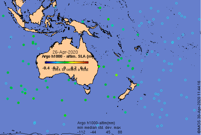
Click on the map below or choose a [WMO number] to see the temperature and salinity data from the selected float compared with satellite-adjusted climatology.

Depending on your settings, your browser may or may not open these links in a separate window.
If nothing seems to open, try right-click/open-in-new-window