1902027 1902048 1902263 2902296 2902804 2902806 2902807 2902809 2902813 2902815 2902819 2903865 3902355 3902358 3902359 3902364 4902907 4903176 4903750 5902469 5902483 5902499 5902500 5904622 5904642 5904789 5904808 5904972 5905128 5905212 5905213 5905239 5905315 5905316 5905319 5905353 5905406 5905444 5905455 5905499 5905505 5905514 5905525 5905537 5905546 5905553 5905563 5905568 5905571 5905665 5905669 5905670 5905685 5905707 5905723 5905725 5906115 5906144 5906145 5906258 5906273 5906300 5906318 5906570 5906635 5906661 5906717 5906731 5906774 5906778 5906779 5906825 5906891 5906892 5906896 5906903 5906924 5906928 5906929 5907116 6902891 6902922 7900837 7900895

Argo profiles in the Australian region

Temperature and salinity down to 2000m

[PREV] [NEXT] [DATE INDEX] [What's shown]
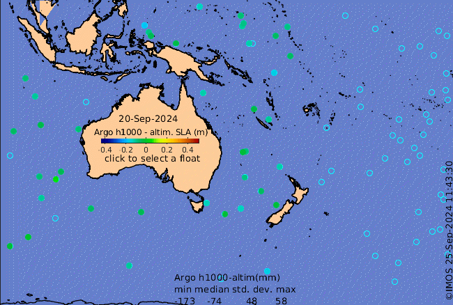
Click on the map below or choose a [WMO number] to see the temperature and salinity data from the selected float compared with satellite-adjusted climatology.

Depending on your settings, your browser may or may not open these links in a separate window.
If nothing seems to open, try right-click/open-in-new-window