1901757 1901800 1901813 1901831 2902804 2902806 2902807 2902809 2902813 2902815 2902819 2903432 2903451 2903453 2903856 3901949 3901958 3902363 3902460 4903177 4903389 4903631 5902485 5904387 5904613 5904619 5904727 5905207 5905208 5905263 5905296 5905303 5905423 5905440 5905463 5905469 5905489 5905503 5905519 5905524 5905528 5905533 5905552 5905573 5905574 5905575 5905647 5905658 5905666 5905673 5905676 5905682 5905705 5905745 5905968 5906063 5906118 5906311 5906413 5906414 5906421 5906442 5906462 5906569 5906650 5906656 5906726 5906744 5906790 5906823 5906841 5906915 5906927 6902857 6902920 6902939 6902941 6902988 7900811 7900834 7900838 7901102 7901108

Argo profiles in the Australian region

Temperature and salinity down to 2000m

[PREV] [NEXT] [DATE INDEX] [What's shown]
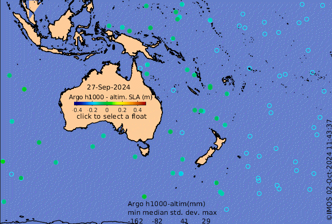
Click on the map below or choose a [WMO number] to see the temperature and salinity data from the selected float compared with satellite-adjusted climatology.

Depending on your settings, your browser may or may not open these links in a separate window.
If nothing seems to open, try right-click/open-in-new-window