1901831 1901870 1902223 1902224 1902260 1902261 1902338 1902651 1902654 2902228 2902804 2902806 2902807 2902809 2902812 2902819 2903432 2903450 2903453 2903769 2903783 4902906 5902450 5904629 5904649 5904791 5904800 5904815 5905246 5905336 5905462 5905465 5905471 5905507 5905524 5905552 5905555 5905567 5905569 5905715 5905717 5905745 5905772 5905780 5906113 5906119 5906120 5906131 5906134 5906223 5906303 5906319 5906394 5906423 5906426 5906432 5906569 5906626 5906655 5906657 5906659 5906702 5906703 5906714 5906718 5906747 5906791 5906793 5906843 5906845 5906910 5906925 5906934 5907114 6902857 6902885 6903214 7900828 7900834 7900835 7900838 7901108 7902109 7902118

Argo profiles in the Australian region

Temperature and salinity down to 2000m

[PREV] [NEXT] [DATE INDEX] [What's shown]
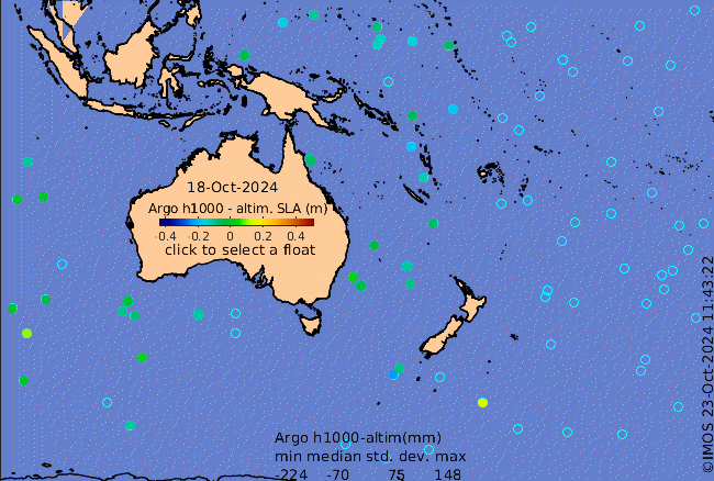
Click on the map below or choose a [WMO number] to see the temperature and salinity data from the selected float compared with satellite-adjusted climatology.

Depending on your settings, your browser may or may not open these links in a separate window.
If nothing seems to open, try right-click/open-in-new-window