1901813 1901834 1902055 1902224 1902339 2902221 2902767 2902812 2902817 4902906 5902387 5902391 5902404 5902416 5902434 5902436 5902458 5902467 5902476 5902477 5902488 5902490 5902491 5902526 5904632 5904637 5904745 5904818 5905164 5905183 5905218 5905225 5905295 5905389 5905390 5905418 5905426 5905433 5905442 5905456 5905484 5905486 5905487 5905489 5905504 5905506 5905519 5905651 5905653 5905683 5905684 5905685 5905707 5905719 5905720 5905723 5905725 5905875 5905876 5905881 5906059 5906136 5906151 5906174 5906176 5906206 5906218 5906272 5906422 5906461 5906627 5906695 5906696 5906704 5906705 5906706 5906707 5906743 5906744 5906746 6901983 6902778 6902909 6902985 6903024 7900111 7900909

Argo profiles in the Australian region

Temperature and salinity down to 2000m

[PREV] [NEXT] [DATE INDEX] [What's shown]
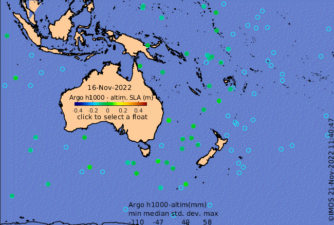
Click on the map below or choose a [WMO number] to see the temperature and salinity data from the selected float compared with satellite-adjusted climatology.

Depending on your settings, your browser may or may not open these links in a separate window.
If nothing seems to open, try right-click/open-in-new-window