1901800 1901838 1902260 1902261 2902395 3902372 4903389 4903630 5902470 5902486 5902489 5902495 5902497 5902499 5902524 5904628 5904727 5904810 5904812 5904861 5904945 5905189 5905238 5905244 5905262 5905296 5905303 5905390 5905401 5905402 5905407 5905432 5905433 5905439 5905447 5905456 5905458 5905477 5905485 5905495 5905497 5905503 5905509 5905513 5905522 5905643 5905646 5905651 5905673 5905683 5905684 5905707 5905721 5905723 5905767 5905768 5905787 5905842 5905965 5906059 5906105 5906118 5906140 5906219 5906272 5906277 5906291 5906347 5906406 5906414 5906433 5906466 5906569 5906625 5906627 5906643 5906644 5906645 5906661 5906701 5906726 5906747 5906771 5906823 5906889 5906927 5906928 5906929 6902938 6903215 7900515 7900684 7900834 7900838 7900896 7900905 7900921 7900932 7900933 7900936 7900950

Argo profiles in the Australian region

Temperature and salinity down to 2000m

[PREV] [NEXT] [DATE INDEX] [What's shown]
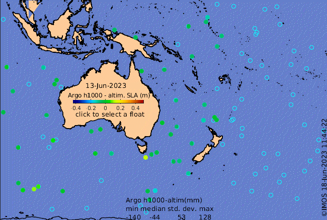
Click on the map below or choose a [WMO number] to see the temperature and salinity data from the selected float compared with satellite-adjusted climatology.

Depending on your settings, your browser may or may not open these links in a separate window.
If nothing seems to open, try right-click/open-in-new-window