1901838 1902033 1902249 2902812 2902817 2903458 3901244 3902361 4903389 5902475 5902489 5904727 5904810 5904812 5904945 5905236 5905237 5905244 5905247 5905262 5905277 5905296 5905303 5905390 5905401 5905407 5905432 5905433 5905439 5905447 5905452 5905458 5905477 5905489 5905513 5905528 5905642 5905643 5905673 5905708 5905721 5905724 5905762 5905768 5905773 5905779 5905877 5905965 5906059 5906113 5906119 5906120 5906134 5906137 5906144 5906146 5906254 5906263 5906272 5906347 5906428 5906461 5906620 5906623 5906629 5906643 5906645 5906702 5906703 5906714 5906728 5906747 5906793 5906823 5906921 6903214 6903215 7900512 7900896 7900905 7900906 7900908

Argo profiles in the Australian region

Temperature and salinity down to 2000m

[PREV] [NEXT] [DATE INDEX] [What's shown]
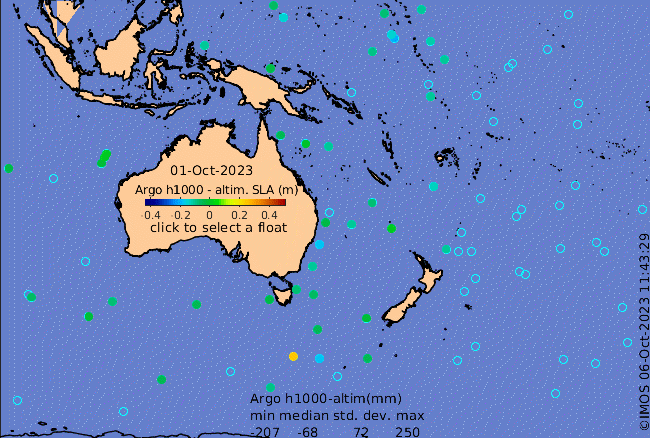
Click on the map below or choose a [WMO number] to see the temperature and salinity data from the selected float compared with satellite-adjusted climatology.

Depending on your settings, your browser may or may not open these links in a separate window.
If nothing seems to open, try right-click/open-in-new-window