1901813 1902263 1902339 2902221 2902813 2902815 2903456 2903458 3902477 4902906 5902450 5902471 5902481 5902484 5902493 5902505 5904607 5904745 5904794 5904805 5904811 5904818 5905173 5905266 5905304 5905418 5905426 5905470 5905484 5905486 5905487 5905495 5905503 5905504 5905506 5905509 5905531 5905533 5905543 5905544 5905553 5905650 5905655 5905706 5905709 5906013 5906115 5906206 5906223 5906229 5906251 5906395 5906398 5906429 5906430 5906461 5906624 5906731 5906747 5906749 5906778 5906892 5906917 5906924 5906925 5906929 6901983 6902777 6902778 6903215 7900512 7900644 7900649 7900909 7901097

Argo profiles in the Australian region

Temperature and salinity down to 2000m

[PREV] [NEXT] [DATE INDEX] [What's shown]
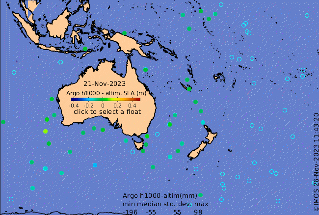
Click on the map below or choose a [WMO number] to see the temperature and salinity data from the selected float compared with satellite-adjusted climatology.

Depending on your settings, your browser may or may not open these links in a separate window.
If nothing seems to open, try right-click/open-in-new-window