○ Argo:
pink circle at the location of any profile made in the window t0 +/- 12hrs; click on the circle to see the Argo profiles of temperature and salinity.
◆ Glider:
small diamonds (pink and black) indicate 6-hourly glider locations,
pink when the glider is in the 24hr window around t0; click on the diamonds to see the glider profiles.
⇉ Radar:
the average velocity using all available hourly radar velocities from the IMOS radar facility
within a specified time window around t0.
Eg (3-12h avg) indicates a minimum of 3 hourly radar velocity estimates are required within a 12 hour window.
Blue (red) vectors are plotted over waters warmer (cooler) than the mean value in the colorbar axis.
> Drifter:
6 hourly Global Drifter Program surface drifter (drogued at 15m on deployment) within a window of -2 to +1 day around t0.
Location and velocity are indicated with pink arrow heads.
○ Ship:
Underway water temperature, plotted hourly, from ships with hull-mounted intake. These include the RV Investigator (MNF), RV Solander and RV Cape Ferguson (AIMS), and the Spirit of Tasmania 2, Sea Flyte and Stadacona from (IMOS Ships of Opportunity Facility).
Data within
t0 +/- 1day is indicated with a small black dot at the ship location and a black
circle indicates the measurement occurred within 12 hours of
t0.
Selected isobaths: grey and cyan contours, in metres.
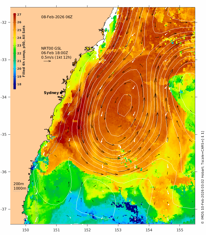
Gridded Sea Level (GSL): white contours every 0.1 m.
Geostrophic velocity: black arrows, where length indicates both speed and distance something would travel over a 12hr or 24hr period (as indicated) at this velocity.
The latest GSLA (NRT00) is usually 4 days behind real time - the date of the GSLA and velocity vectors is indicated on the plot.


