2026/06/23 15:01 Z is not available for this product and/or region
Legend
○ Argo
◆ Glider
⇉ Radar
> Drifter
○ Ship
→ ADCP
□ FishSOOP
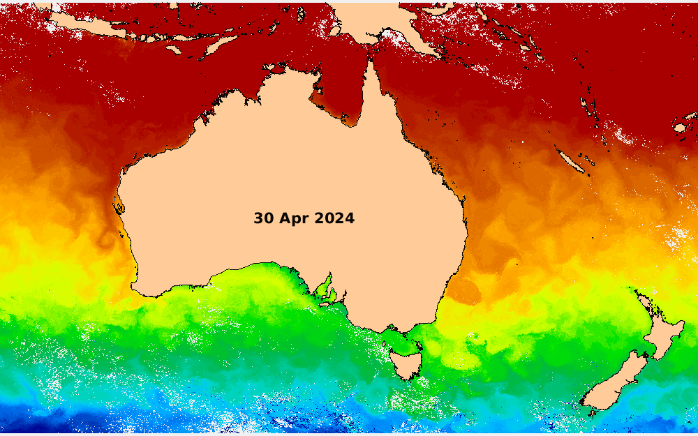
The maps of Sea Surface Height (SSH) include:
Gridded Sea Surface Height (with respect to a ‘local mean’ Mean Dynamic Topography - MDT). The Sea Surface Height is calculated by adding the adjusted gridded Sea Level Anomaly (SLA) from IMOS-OceanCurrent (i.e., the IMOS-OceanCurrent GSLA dataset) and the CNES/CLS2022 Mean Dynamic Topography (MDT). We then remove the ‘local mean’ MDT (i.e., the mean MDT value for the region shown on the map) from the SSH value to facilitate the visualization of ocean features within the region without the local SSH gradient caused by different oceanographic regimes. The value of this local mean MDT is shown in parenthesis in the title of the colourbar. Maps of MDT in the region can be accessed via this product’s drop-down menu at the top bar. The IMOS-OceanCurrent GSLA is built using along-track altimeter data over a 10-day window together with tide gauge data. These two datasets are interpolated onto a ¼ degree grid using optimal interpolation. The gridded product is shown as the background field. The shading of the colours indicates 5 cm intervals, departing from 0 cm. The term ‘adjusted’ means that sea level variations due to high-frequency processes (e.g., astronomical tides and the ocean's response to atmospheric pressure) have been subtracted from the observations, as previously described here and here.
Sea Surface Height from tide gauges (wrt ‘local mean’ MDT) around Australia. This is obtained by adding the tide gauge adjusted SLA to the CNES/CLS2022 MDT and subtracting the local mean MDT. The tide gauge SLA data is de-tided, de-meaned, and inverse-barometer-adjusted. Colour-filled circles at the locations of the tide gauges indicate SSH values. If the circle has a magenta outline, the value is a 24-h mean SSH for the day of the map. If the circle has a black outline and a date & time next to it, it indicates the SSH measurement at that time, which is the measurement closest in time to the SWOT measurement at that location. Smaller filled dots along the coast indicate the linearly interpolated values between tide gauges. These values are used in the gridding process when producing the IMOS-OceanCurrent GSLA dataset.
SWOT Sea Surface Height (wrt ‘local mean’ MDT). The data shown here is from the PIC2_01 Expert L3_LR_SSH version of SWOT[1], freely available via AVISO/DUACS and internally processed at CSIRO by the IMOS Satellite Remote Sensing Facility. Here, we plot the ‘ssha_filtered’ parameter from the NetCDF files, which is the ‘height of the sea surface anomaly with all corrections applied and with calibration, data selection, and noise reduction (Treboutte et al., 2023[2]) applied’ with the CNES/CLS2022 MDT added, and the local mean MDT subtracted. The corrections applied to this data (by AVISO/DUACS) are the dynamic atmospheric correction, the internal tide correction (HRET14), and the ocean tide deduction. The processing methodology for SWOT level 3 products is outlined in Dibarboure et al. (2024). The white contour within the swaths indicates 0 cm SSH, with black contours indicating 5 cm intervals, departing from 0. The big difference between the SWOT data and the gridded background field is that SWOT gives a series of snapshots of a (narrow) 2D fields, while the gridded background field is a complete (but interpolated) field, as described above.
In the figure you can also see the location of Argo floats, gliders, ships, and drifters, and the 25-hour full-depth averaged velocity as measured by moored instruments where and when available (blue arrows).
Some things to consider when analysing the SWOT swath measurements in the figures:
[1] "The SWOT_L3_LR_SSH product, derived from the L2 SWOT KaRIn low rate ocean data products (L2_LR_SSH) (NASA/JPL and CNES), is produced and made freely available by AVISO and DUACS teams as part of the DESMOS Science Team project". AVISO/DUACS, 2023. SWOT Level-3 SSH Expert (v2.0.1) [Data set]. CNES. https://doi.org/10.24400/527896/A01-2023.018
[2] Tréboutte, A., Carli, E., Ballarotta, M., Carpentier, B., Faugère, Y., & Dibarboure, G. (2023). KaRIn Noise Reduction Using a Convolutional Neural Network for the SWOT Ocean Products. Remote Sensing, 15(8), 2183. https://doi.org/10.3390/rs15082183
[3] Hay, A., Watson, C., Legresy, B., King, M., & Beardsley, J. (2025). Small scale variability in the wet troposphere impacts the interpretation of SWOT satellite observations. Geophysical Research Letters, 52, e2024GL112778. https://doi.org/10.1029/2024GL112778