1901302 1901810 1902054 2902239 2902248 2902813 2902815 3902210 4903176 5902362 5902372 5902374 5902391 5902396 5902398 5902448 5902451 5902455 5902466 5902467 5902473 5902477 5902488 5902498 5903823 5904361 5904368 5904374 5904375 5904398 5904427 5904428 5904446 5904578 5904629 5904800 5904802 5904815 5904833 5904846 5904865 5904890 5904927 5904943 5904985 5904996 5905001 5905014 5905015 5905168 5905170 5905180 5905208 5905213 5905238 5905265 5905329 5905343 5905373 5905377 5905399 5905414 5905424 5905436 5905444 5905448 5905467 5905472 5905481 5905653 5905668 5905683 5905684 5905719 5905720 5905721 5905725 5905771 5905965 5905975 5905998 5906075 5906140 5906151 5906152 5906165 5906191 5906218 5906253 5906270 5906346 5906623 6901660 6902833 6902939 6902941 6903252 7900394 7900612 7900687

Argo profiles in the Australian region

Temperature and salinity down to 2000m

[PREV] [NEXT] [DATE INDEX] [What's shown]
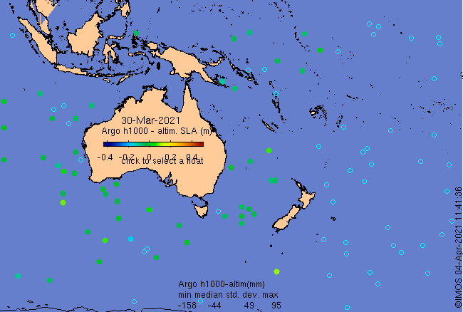
Click on the map below or choose a [WMO number] to see the temperature and salinity data from the selected float compared with satellite-adjusted climatology.

Depending on your settings, your browser may or may not open these links in a separate window.
If nothing seems to open, try right-click/open-in-new-window