1901750 1901812 1901838 1902039 1902049 1902050 1902195 1902216 2902804 2902806 2902807 2902809 2902813 2902815 2902819 2902894 2903866 3902256 3902362 4903191 4903752 5904618 5904810 5904812 5904942 5905220 5905240 5905248 5905261 5905289 5905356 5905384 5905386 5905393 5905402 5905475 5905504 5905506 5905642 5905699 5905706 5905709 5905735 5905737 5905764 5905767 5905856 5905877 5905965 5906059 5906091 5906139 5906141 5906142 5906148 5906207 5906254 5906260 5906262 5906368 5906373 5906398 5906415 5906429 5906430 5906463 5906467 5906550 5906621 5906645 5906665 5906667 5906668 5906695 5906707 5906743 5906748 5906919 5906926 5906941 6902856 7901097

Argo profiles in the Australian region

Temperature and salinity down to 2000m

[PREV] [NEXT] [DATE INDEX] [What's shown]
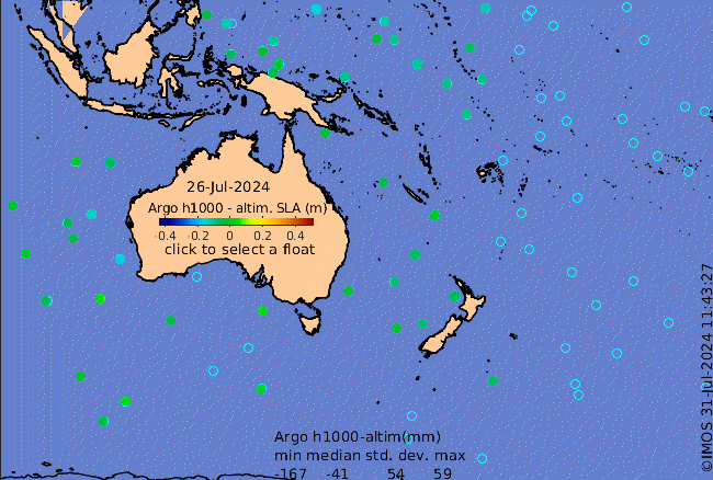
Click on the map below or choose a [WMO number] to see the temperature and salinity data from the selected float compared with satellite-adjusted climatology.

Depending on your settings, your browser may or may not open these links in a separate window.
If nothing seems to open, try right-click/open-in-new-window